Our location benchmarking tools will enable you to evaluate locations across the world to help you stay competitive in today’s global marketplace


Our custom app puts our local economic data, street view and satellite data at your fingertips.

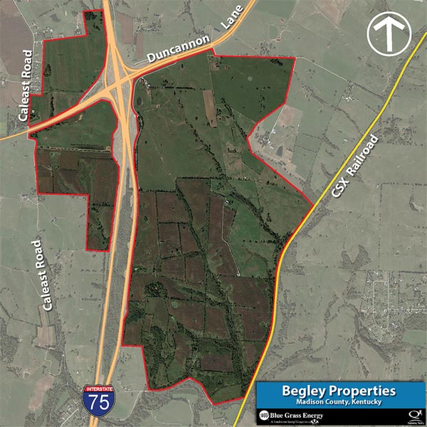
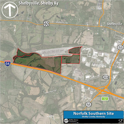
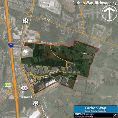
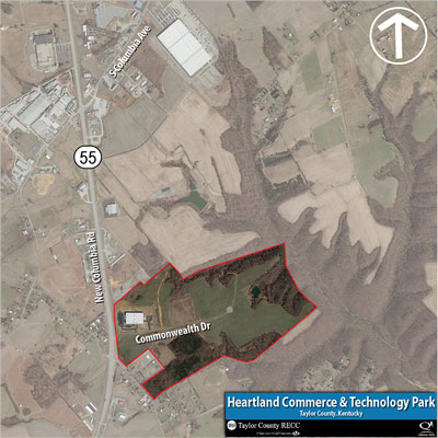
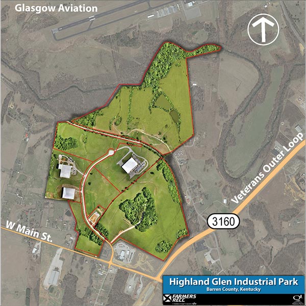
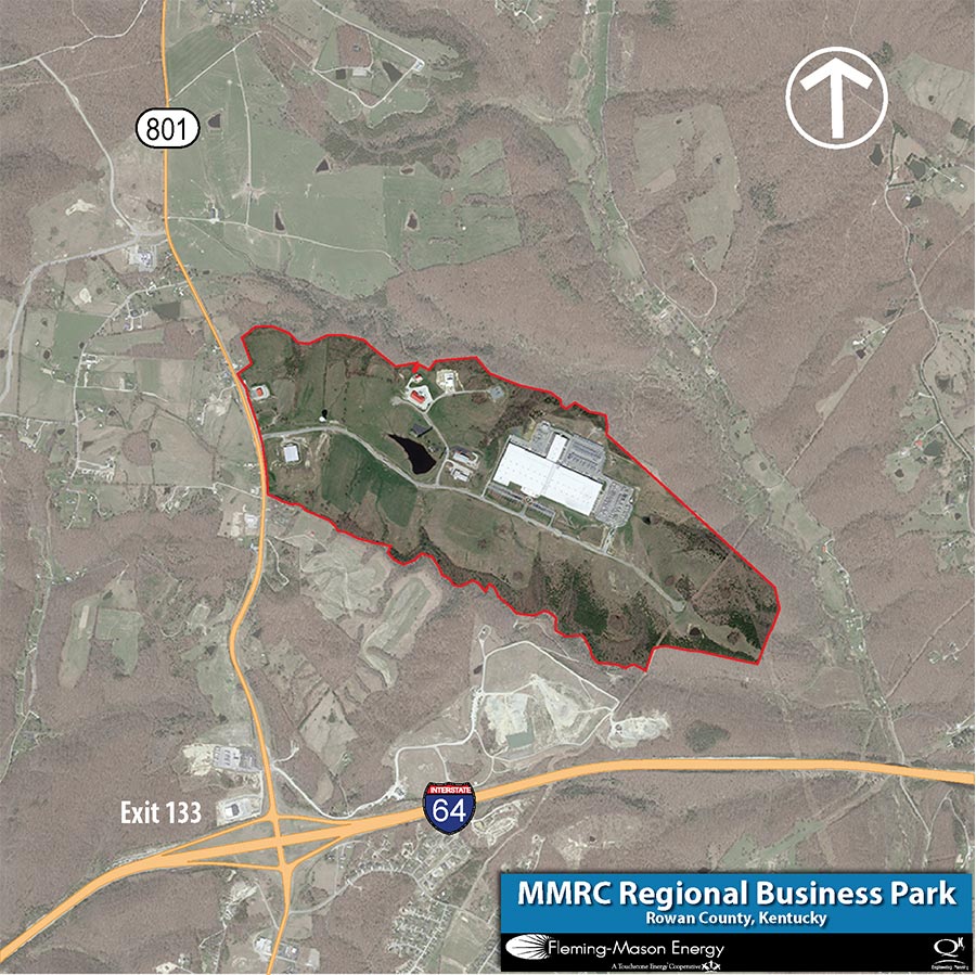
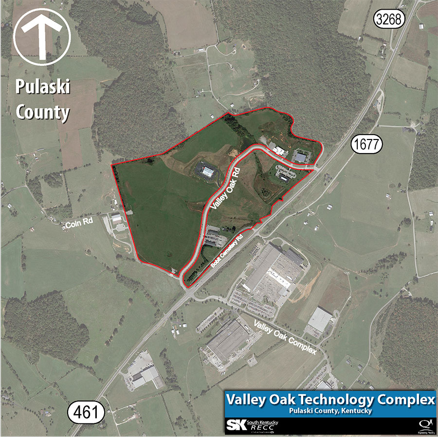
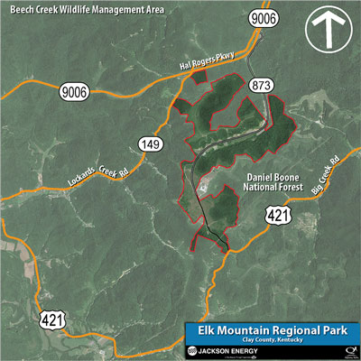
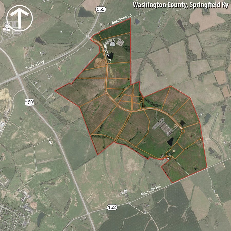
Drone-photographed aerial videos and photos showcase of our commercial and industrial tracts.

All the information you need about industrial sites, workforce, infrastructure, support industries and much more.

Find sites and buildings for projects, filter by attributes such as infrastructure and transportation and view interactive map layers.
With the resources of 17 electric cooperatives at our fingertips, Kentucky’s Touchstone Energy Cooperatives are ready to meet your needs.